![山のご案内](https://yamagatayama.com/wp-content/themes/yamagatayama/images/ttl_mt-information.png)
![山のご案内](https://yamagatayama.com/wp-content/themes/yamagatayama/images/smp_ttl_mt-information.png)
東黒森山 ひがしくろもりやま
766m
片道:30分
5月~11月
体力度:1
技術的難易度:A
東線〜西線コース周回
![](https://yamagatayama.com/wp-content/uploads/2022/01/map15.png)
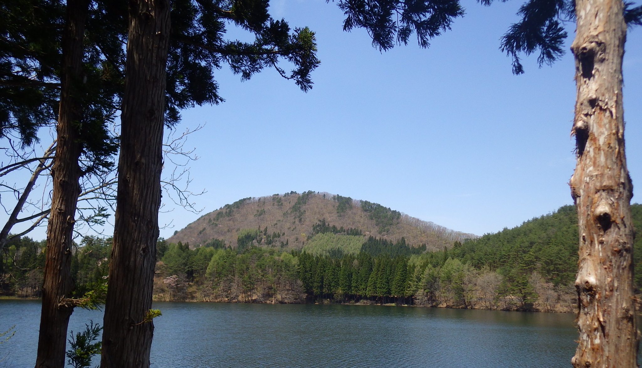
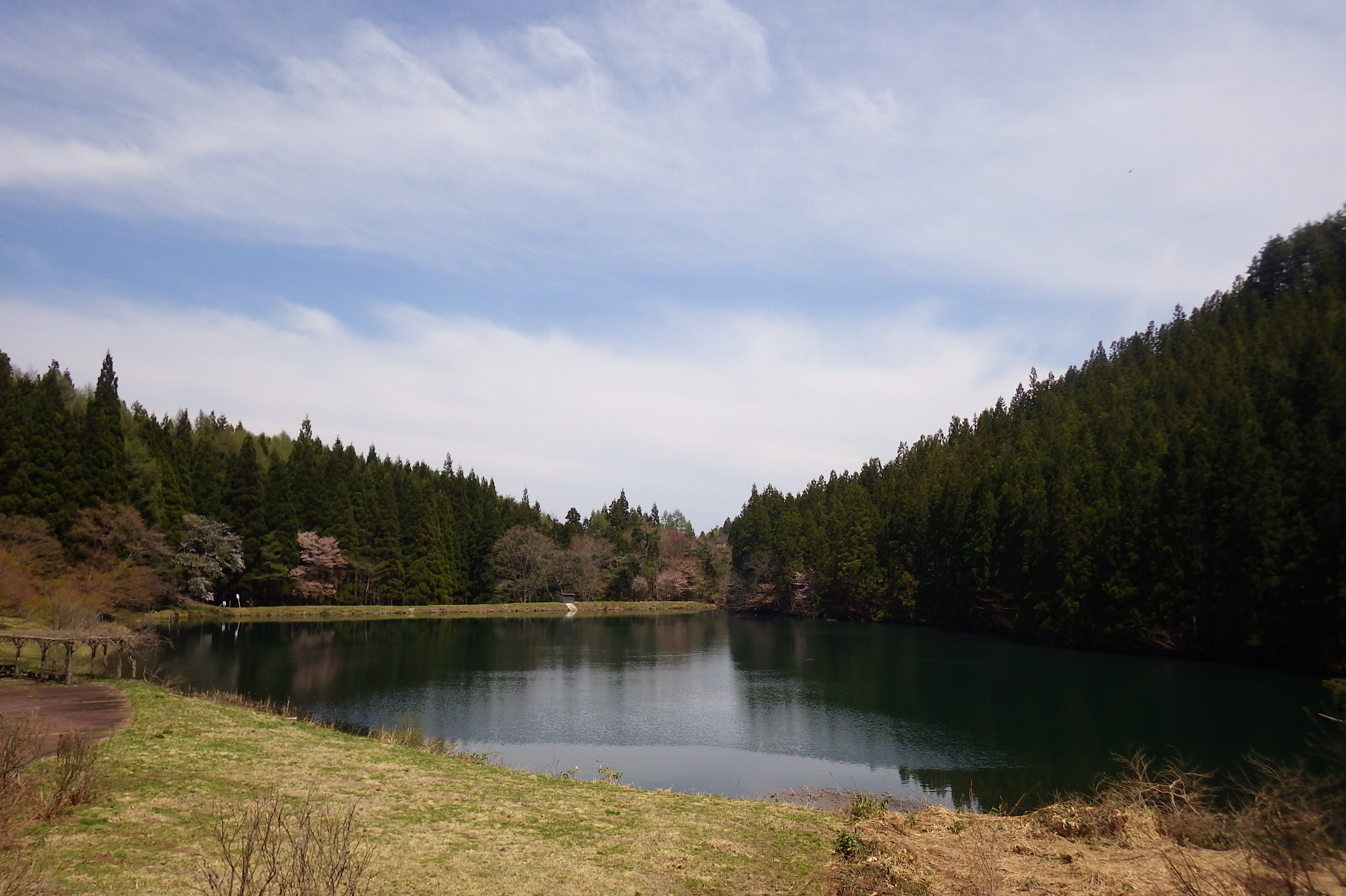
山辺町南部に位置する東黒森山は、県民の森としても親しまれ、気軽にハイキングを楽しめます。ウォームアップやクールダウンを兼ねて、水面に映る東黒森山を眺めながら、大沼沿いの遊歩道を散策するのもお勧めです。山麓には他にもたくさんの湖沼が点在するので、ピクニックやキャンプ、釣り等のアクティビティも。
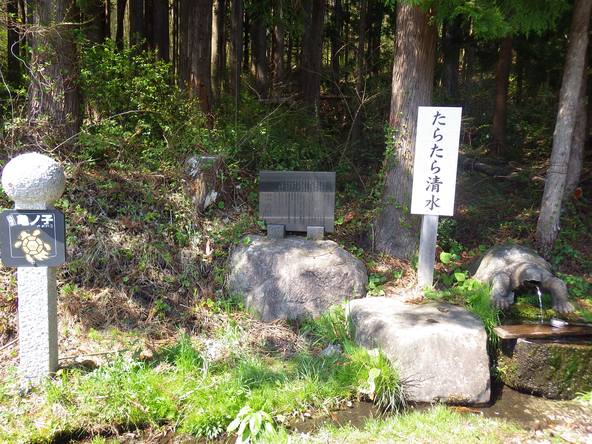
東線と西線の2ルートがあり、それぞれの登山口は車道で僅かの距離なので周遊も可能です。近くには、里の名水・山形百選に選ばれた「亀ノ子」もありますので、登山後の喉を潤してみてください。
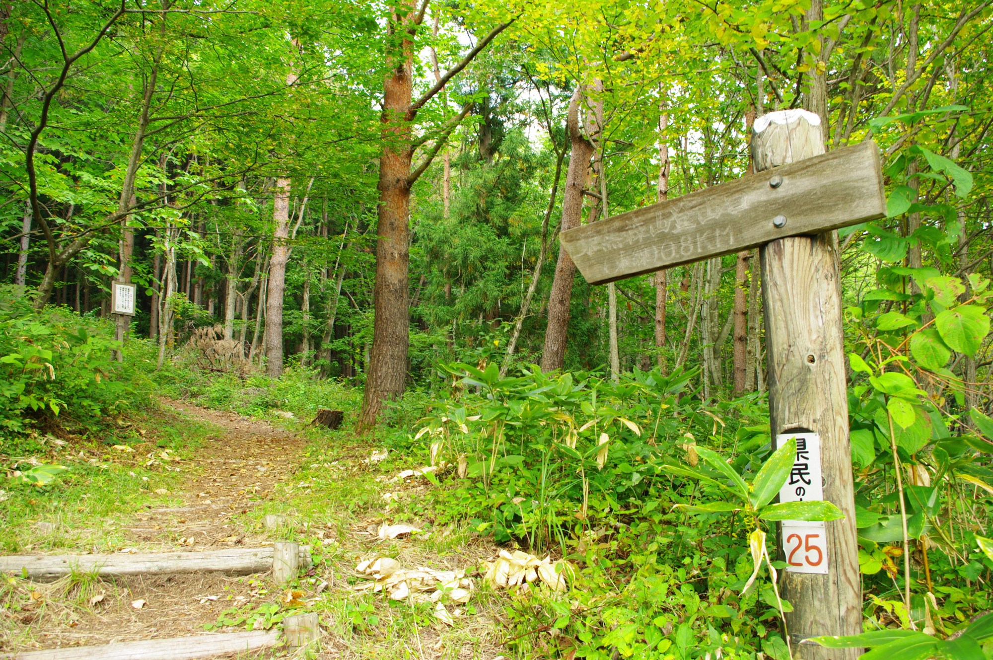
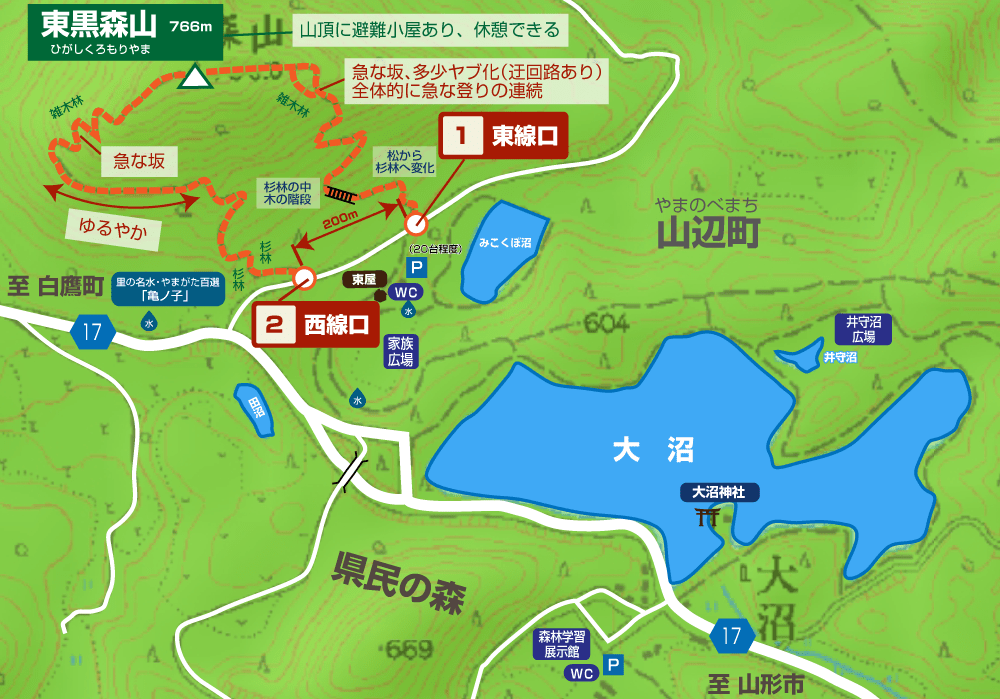
![コース紹介](https://yamagatayama.com/wp-content/themes/yamagatayama/images/ttl_course.png)
![コース紹介](https://yamagatayama.com/wp-content/themes/yamagatayama/images/smp_ttl_course.png)
![](https://yamagatayama.com/wp-content/uploads/2022/01/コース紹介-32.png)
- 東線コース ◎片道:約30分
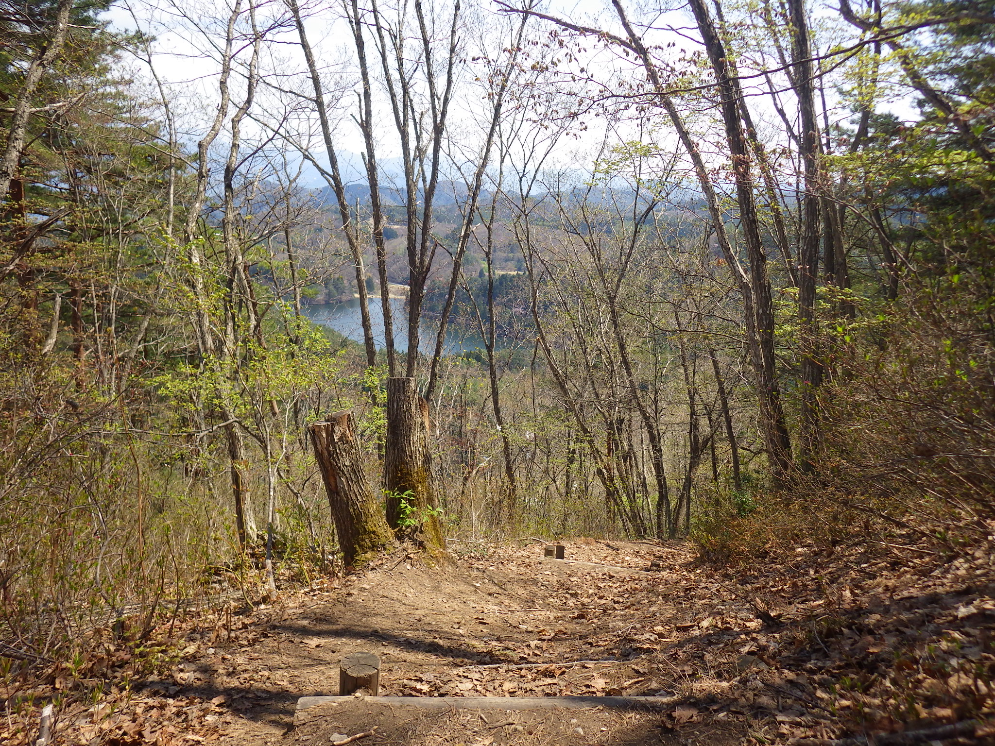
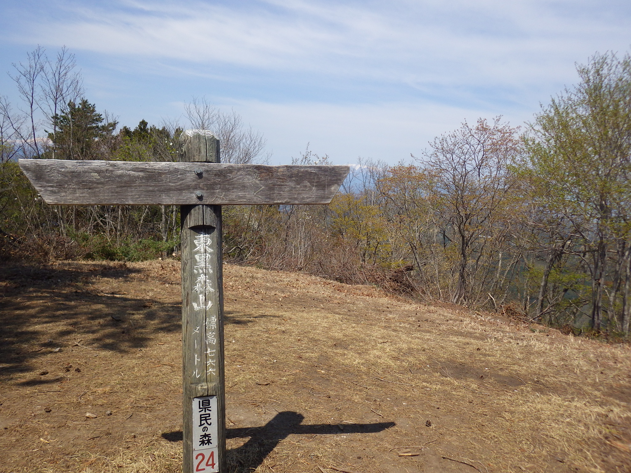
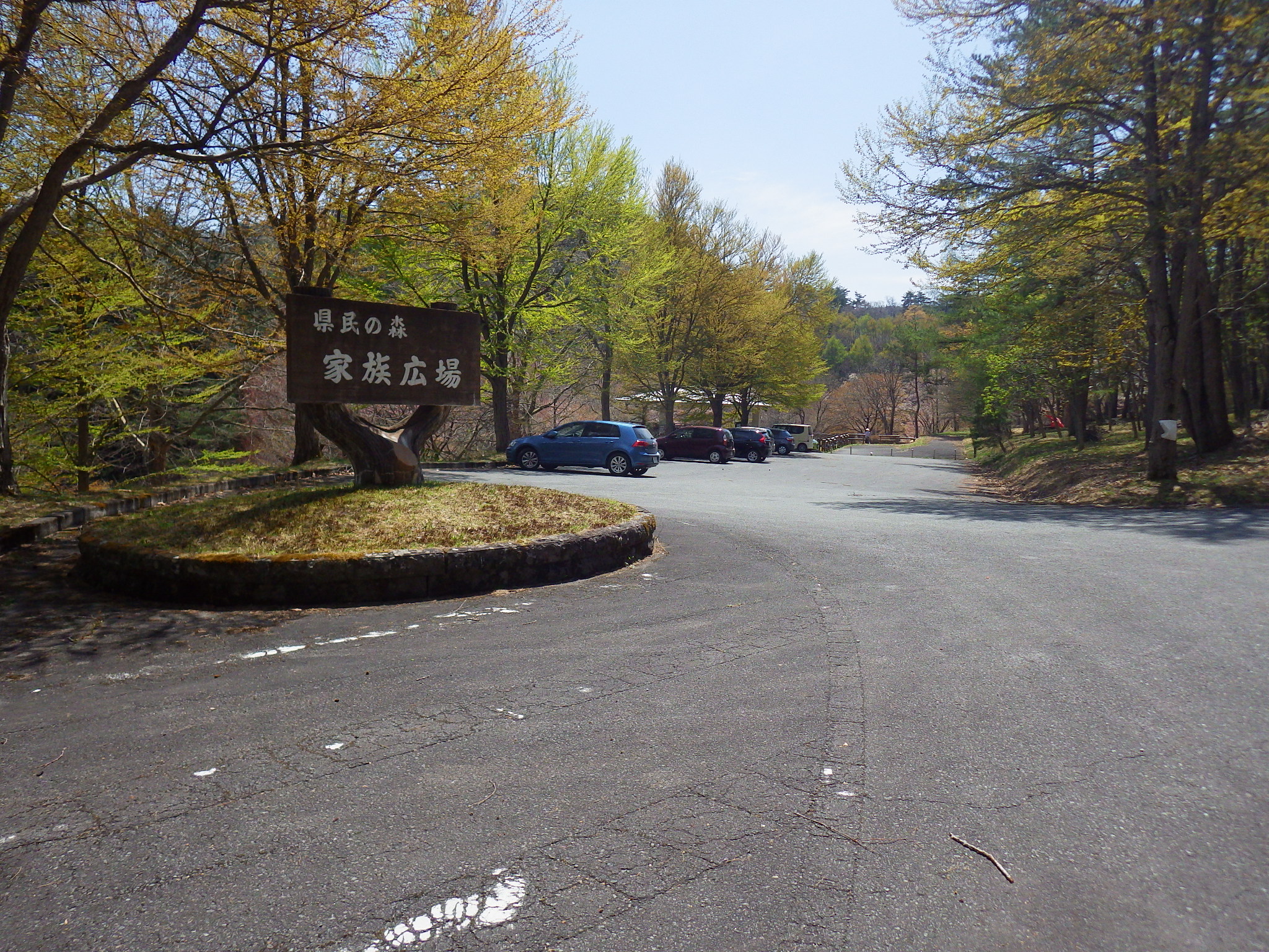
- 東から西へと逆時計回りに登り上げるコースです。西線(1km)に対して0.8kmと距離が短い分、急登が多いのが特徴です。駐車場は登山口の車道を挟んだ真向かいにある県民の森「家族広場」の駐車場(約40台程度)が利用できます。登り始めは杉林の中を進み、徐々に雑木林への植生の変化を楽しむことができます。最後の急登は傾斜がきつい上に多少ヤブ化していますので、心配な方は迂回路をどうぞ。山頂には山頂標識と避難小屋があり休憩が可能です。山頂からの展望は、樹木の間から朝日連峰・月山・葉山を認めることができます。
- 西線コース ◎片道:約30分
- 東線登山口から車道歩きで200mほど下ったところが西線の登山口になります。駐車場は東線コースと同様に県民の森「家族広場」の駐車場が利用できます。東線コースとは逆に、西から東へ時計回りで登っていきます。数箇所急登があるものの、全体的には緩やかなコースで森林浴を楽しみながらの山歩きになります。体力的に自信がない方は、登りを西線コース、降りを東線コースの組合せをお勧めします。
![お知らせ](https://yamagatayama.com/wp-content/themes/yamagatayama/images/ttl_news.png)
![お知らせ](https://yamagatayama.com/wp-content/themes/yamagatayama/images/smp_ttl_news.png)
![おすすめ観光情報](https://yamagatayama.com/wp-content/themes/yamagatayama/images/ttl_sightseeing.png)
![おすすめ観光情報](https://yamagatayama.com/wp-content/themes/yamagatayama/images/smp_ttl_sightseeing.png)
![お問い合わせリンク](https://yamagatayama.com/wp-content/themes/yamagatayama/images/ttl_contact-link.png)
![お問い合わせリンク](https://yamagatayama.com/wp-content/themes/yamagatayama/images/smp_ttl_contact-link.png)